
Too Wet for Dirt: Where to Ride Around DC After Heavy Rain
As I sit writing this, it’s pouring outside, classic Mid-Atlantic autumn weather. Leaves are falling and sticking to the pavement, and most, if not all, trails will likely be unrideable for a few days after this batch of rain passes, especially since the forecast has rain for the next several days.
I already know what I’ll see when I open social media. The local trail pages will be flooded (no pun intended) with the same question: “Is [trail name] rideable today?” In most cases the answer is no, particularly for places like Patapsco, the Seneca Valley trail system and Fountainhead in Northern Virginia. Those need a few days to dry.
So, where can you ride after a period of heavy rain? Most trail systems in and around Washington need a few days to dry out, so your best options are road, gravel and path rides. Here are some of my go-to destinations when it’s too wet for the mountain bike.
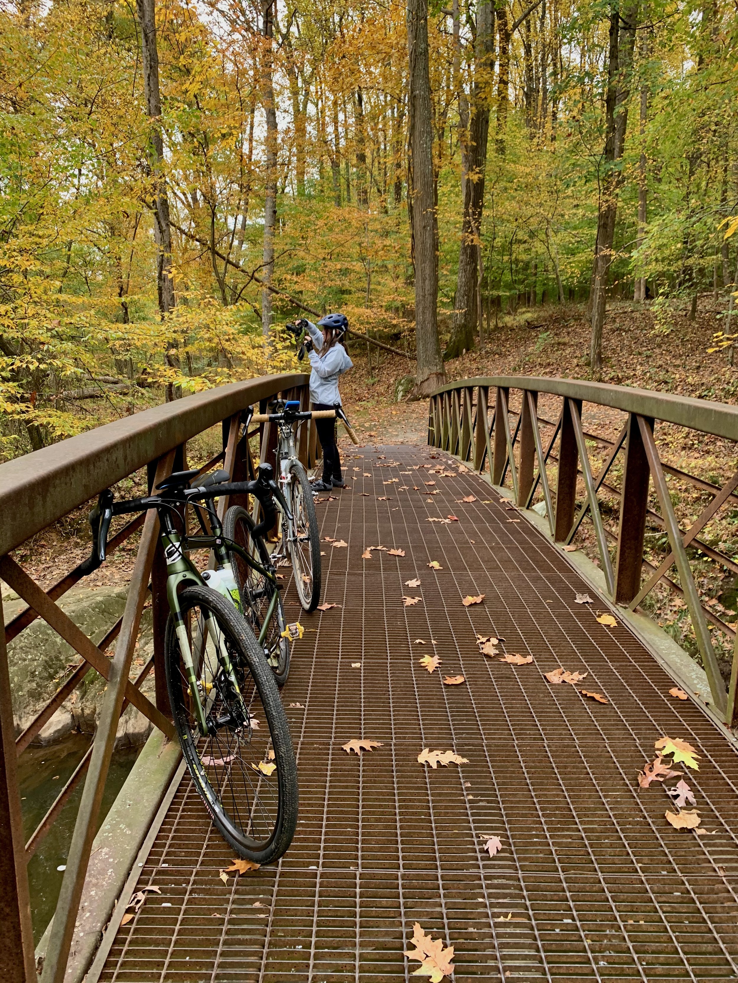
Pausing along Rock Creek to capture the changing fall foliage during a relaxed ride.
The Rock Creek Trail
Path; Maryland
The Rock Creek Trail corridor is a longtime favorite among Washington, DC and suburban Maryland outdoor enthusiasts. My go-to section is the Upper Rock Creek portion that winds through Montgomery County toward Lake Needwood. Because the trail is paved, it is generally rideable after heavy rain. That said, portions can get really slick from wet leaves and other debris.
The Upper Rock Creek Trail can be easily combined with other nearby routes, including the Matthew Henson Trail to the east (be aware that its many boardwalks can be very slippery when wet) and the full length of the Rock Creek Trail to the south. At its southern terminus you can connect with other regional trails including the C&O Canal Towpath (crushed stone), the Custis Trail, the Capital Crescent Trail, and the Mount Vernon Trail, giving you access to a vast network of cycling options around DC, MD and VA.
The route I share here only scratches the surface of what you can access via this regional trail backbone.
The Capital Crescent Trail (CCT)
Path; DC/Maryland
This is another popular paved trail and a good alternative for getting some miles in after a few rainy days. The CCT (not to be confused with the Cross County Trail in Virginia) runs approximately eleven miles through Northwest DC into Bethesda and southern Montgomery County. The route I share here features the southern seven miles between Georgetown and Bethesda. Both ends give you the chance to spend some time in Bethesda or along the revitalized DC waterfront, a perfect “coffee ride.”
From Bethesda the trail extends east to Silver Spring, where you can also connect with the Rock Creek Trail and create a much longer loop back to DC. I detail that 21-mile ride in Best Bike Rides Washington, DC. You can also easily connect the CCT with the C&O Canal Towpath, though that one is a different story after heavy rain. The towpath is dirt and stone, and it can stay muddy long after the pavement dries.
The trail is incredibly popular, not only with recreational riders but also with area commuters heading into DC from Bethesda.
Arlington and Alexandria’s Trail Network
Path; Virginia
The Washington & Old Dominion (W&OD) Trail, locally known as the “WOD,” stretches 45 miles from Shirlington in Arlington to Purcellville in Loudoun County. Adventurous riders will often ride it out and back, or venture onto Loudoun County’s vast network of gravel roads for an “epic” day on the bike. Those gravel roads are also a great regional option during the rain or after it has passed.
The WOD is easy to follow. The trail starts at the intersection of Shirlington Road and South Four Mile Run Drive in Arlington and is clearly marked all the way to Purcellville. It’s also a regional backbone from which you can reach the Mount Vernon Trail, Four Mile Run and the Custis Trail, which combine with the WOD to make up what many locals call the Airport Loop. I titled that loop the “Arlington Beltway” in the first edition of Best Bike Rides DC. Check conditions before heading out after a particularly long stretch of rain or a heavy storm. Portions of Four Mile Run and the Mount Vernon Trail are prone to flooding after severe weather.
Other local riders have created their own loops along the WOD, and one of my favorites is Bikeable Brews. There’s nothing like splitting up a long ride with a frosty beverage. Drink responsibly.
Prince William Forest Park
Road/Gravel/Path; Virginia
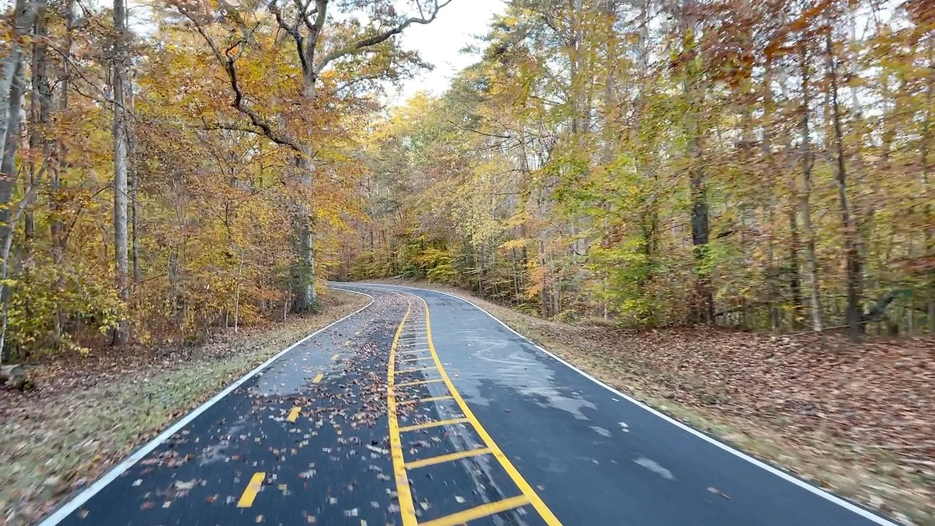
Fall on the Scenic Drive in Prince William Forest Park, a few hours after the rain stopped.
Prince William Forest Park (PWFP) is one of my favorites simply because I can ride to it from my door. My regular ride includes several of the parks’s gravel roads and portions of the Scenic Drive. The Scenic Drive is a popular road loop, and you’ll often see cyclists lapping the 8-mile section. The ride I documented in Best Bike Rides DC is a 14-mile route that starts at the park’s visitor center and is perfect during or after a rainy day.
If you prefer to incorporate gravel into the mix, you can sample one of the park’s several gravel roads. Unfortunately, most are out-and-backs. The loop I like (below) to ride begins just outside the northern portion of the park, at the intersection of Route 234 (Dumfries Road) and Spriggs Road. It incorporates several sections of gravel and road for a fun day on the bike, and it can easily be extended to include more gravel on the southern park border along Liming Lane.
The park also has a short out-and-back dedicated bike lane that’s suitable for younger riders.
Beyond the four rides above, there are myriad options across the region. Local jurisdictions have begun to incorporate bike paths along many major roads, and these can easily be connected to craft a worthy ride right from your door.