

Ride Overview
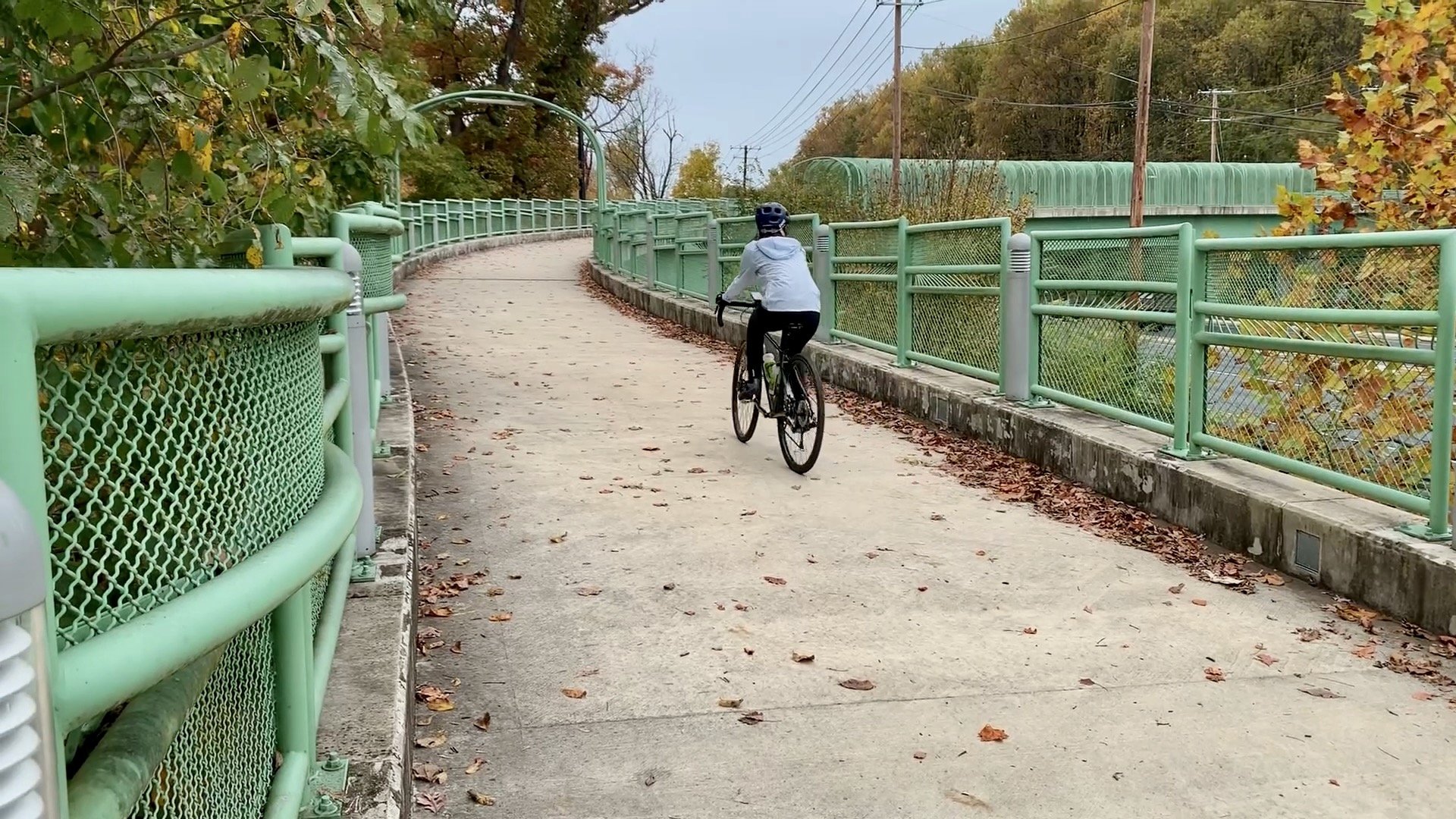
The Rock Creek Stream Valley Corridor is a longtime favorite among Washington, DC and suburban Maryland outdoor enthusiasts. This ride samples the northern section of the Rock Creek Trail as it winds through Montgomery County toward Lake Needwood, a man-made reservoir created for flood control and recreation.
Lake Needwood also serves as the northern anchor of the Rock Creek Trail, which continues south through Rock Creek Park and into the District. This portion of the trail offers a peaceful, wooded riding experience with gentle grades and frequent access points.
The Upper Rock Creek Trail can be easily combined with nearby routes, including the Matthew Henson Trail to the east and the full length of the Rock Creek Trail to the south, allowing riders to tailor distance and difficulty.
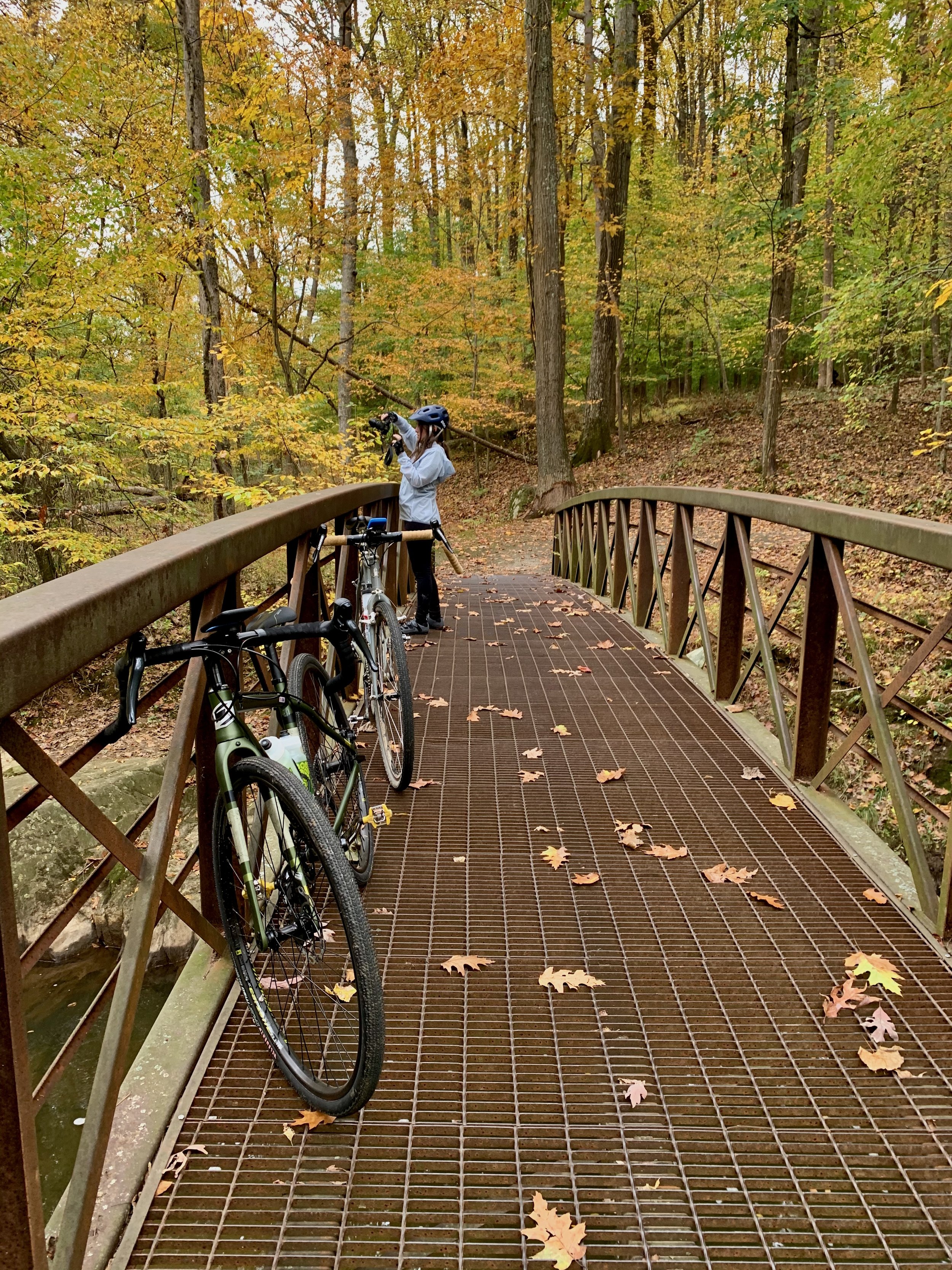
Pausing along Rock Creek to capture the changing fall foliage during a relaxed ride.
Ride Details at a Glance
Location: Silver Spring, MD
Length: Up to 10.6 miles (out-and-back)
Ride Time: 1–2 hours, depending on pace
Ride Type: Path
Difficulty: Level 1/Easy
Ride Notes: This ride, as detailed in Best Easy Bike Rides Washington, DC, focuses on a 5.3-mile section of the Rock Creek Trail that can be ridden out and back or combined with other regional paths. The trail’s smooth surface and gentle grades make it suitable for riders of all ages and ability levels.
For those looking to extend the ride, connections allow travel farther north toward additional Montgomery County trails or south through Rock Creek Park and into Washington, DC. Longer loop options incorporating this section of trail are also included in Best Bike Rides Washington, DC.
Route Map
The interactive route map below shows the route described above and allow riders to explore the route in more detail.
This route is documented in Best Easy Bike Rides Washington, DC which includes additional regional context, access notes, and nearby riding options.