
Ride Overview
Wakefield Park is quite possibly the most popular mountain bike destination in the Metro Washington, DC area. Its close proximity to the Capital Beltway has made it a go-to riding spot for Northern Virginia riders since mountain biking began gaining traction in the early and mid-1990s. Few trail systems in the region offer the same combination of accessibility, variety, and consistent use.
On any given afternoon, Wakefield Park is brimming with activity. Soccer fields, the Audrey Moore RECenter, a skate park, tennis courts, and ballfields all contribute to the park’s constant energy, while an extensive network of mountain bike trails weaves through the woods along Accotink Creek and beneath the nearby power lines.
One of Wakefield’s biggest strengths is its connection to the Cross County Trail, which passes directly through the park. This allows riders to link Wakefield’s singletrack with Lake Accotink to the west or continue farther south toward destinations like Laurel Hill, creating longer urban adventure rides that extend well beyond the park’s boundaries.
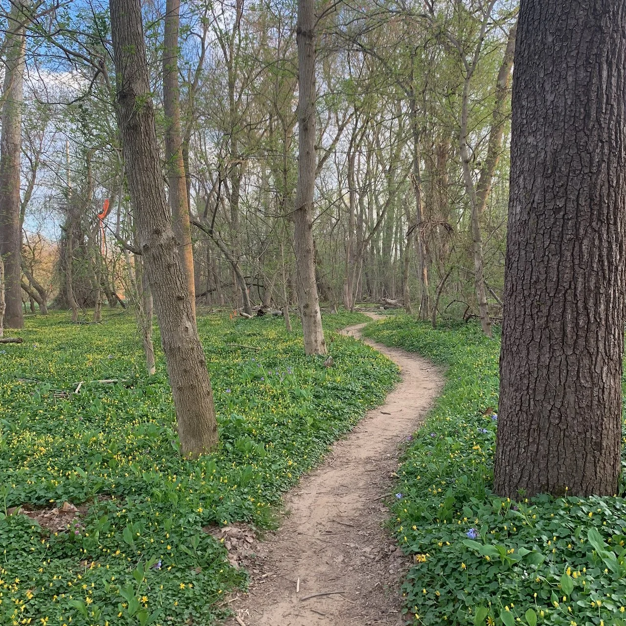
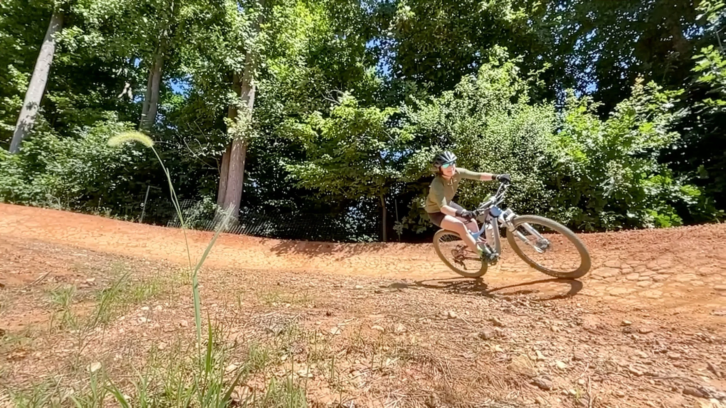
The creekside trails are a fast and fun section of singletrack at Wakefield Park.
Ride Details at a Glance
Location: Annandale, VA
Length: Up to ~15 miles when combined with nearby trail systems
Ride Time: Varies depending on route choices
Ride Type: Mountain Biking
Difficulty: Level 2/Easy
Ride Notes: Wakefield Park has undergone a dramatic transformation over the years. During the early mountain biking boom of the mid-1990s and early 2000s, heavy use and an unsustainable network of legacy trails led to significant erosion and trail damage.
In response, Mid-Atlantic Off-Road Enthusiasts (MORE) partnered with Fairfax County to undertake a comprehensive revitalization of the trail system. With support from IMBA’s Trail Solutions crew, trails along the power lines and Accotink Creek were rebuilt into a sustainable, purpose-designed network of singletrack.
Since then, MORE has continued to work closely with Fairfax County to refine and expand the system. Improvements include flowing bermed sections, a newer trail in the southeast corner of the park known as The Bowl, and a short downhill line featuring jumps and other built features. Together, these additions have helped cement Wakefield’s reputation as a fun, approachable, and reliable urban riding destination.
Extension & Connectivity:
Wakefield shines as a connector ride. By linking with Lake Accotink, riders can extend a session into a longer loop, while the Cross County Trail opens up routes south toward Laurel Hill and beyond. With careful planning, riders can easily piece together 25–30+ mile urban trail days using Wakefield as a central hub.
Future Growth:
Wakefield continues to evolve through ongoing stewardship and collaboration between MORE and Fairfax County. Incremental trail improvements and refinements help ensure the system remains sustainable, engaging, and accessible for riders of all experience levels.
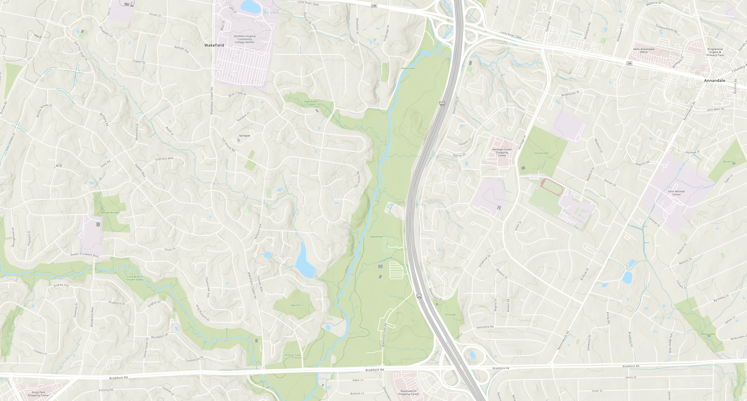
Route Maps
The interactive route maps below highlight the trail networks at Wakefield Park and Lake Accotink. Use the maps to explore elevation profiles, trail sequencing, and alternate route combinations.
These routes are documented in Mountain Biking Virginia and Mountain Biking the Washington DC/Baltimore Area, which include additional regional context, access notes, and nearby riding options.