
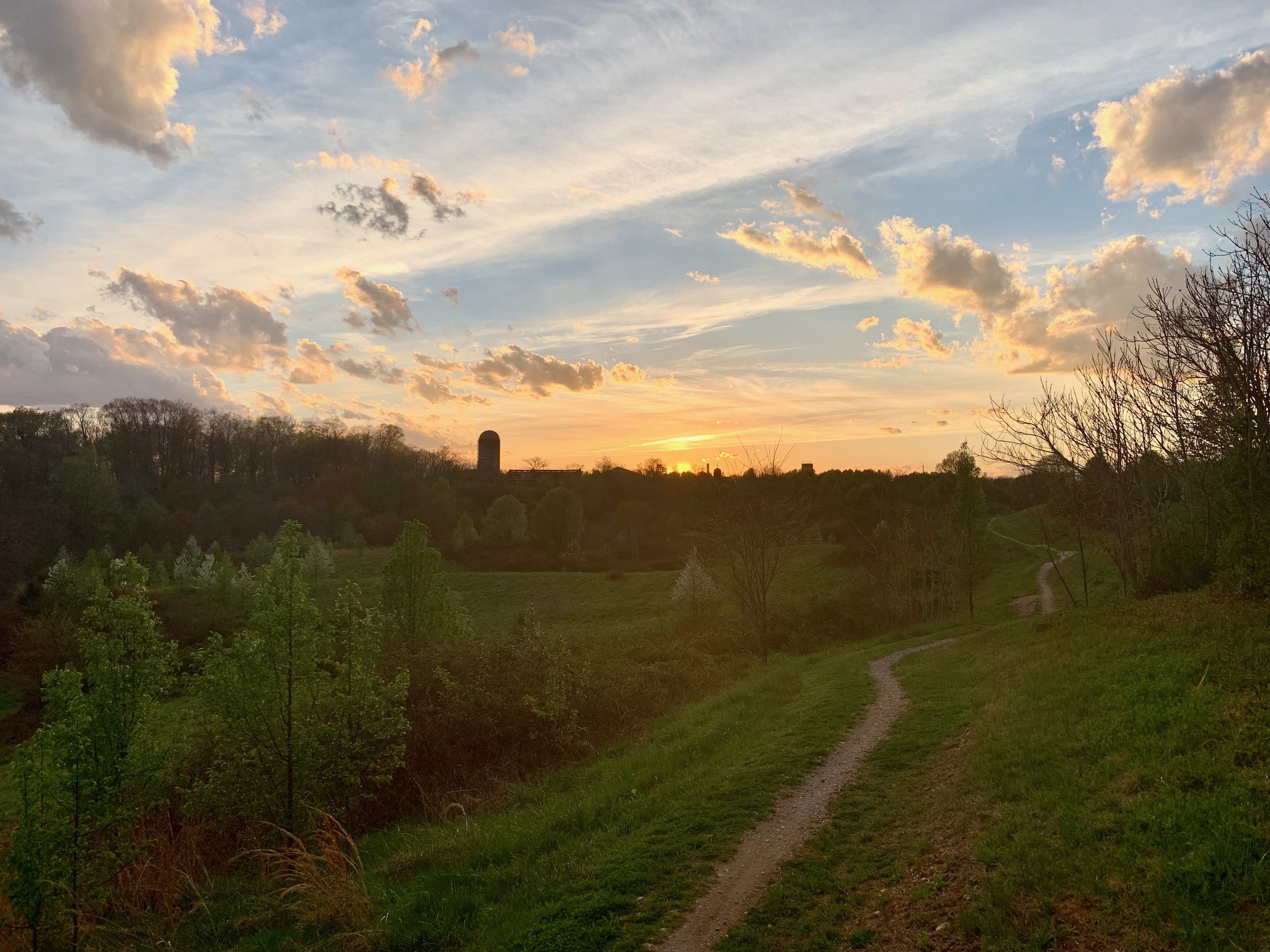
Ride Overview
Riding through the hills and meadows of Laurel Hill takes you across land with a remarkably layered history. The property was once home to a Revolutionary War hero, later served as a reformatory complex, and eventually housed a Cold War–era magazine of intercontinental ballistic missiles.
Laurel Hill has continued to evolve since it first appeared in the first edition of Best Bike Rides Washington, DC. Over time, new trails have been added and development in the surrounding area has expanded, including the addition of Central Green, a recreation area along Lorton Road that features a short paved path.
The trail system remains a local favorite for families and beginner riders. The gravel surface covering much of the singletrack allows for better drainage, making Laurel Hill a reliable riding option when other destinations may be closed or susceptible to trail damage.
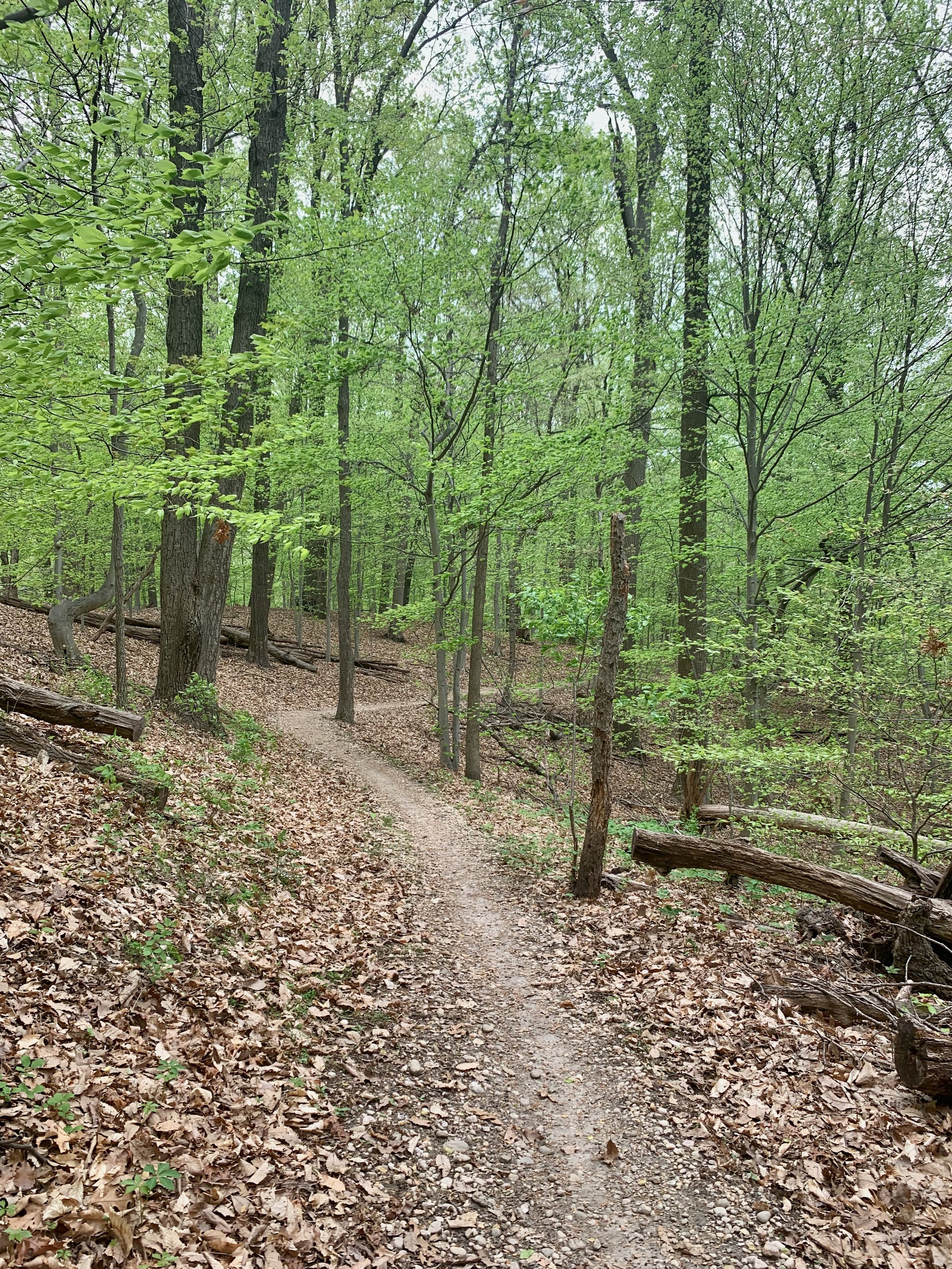
The singletrack trails at Laurel Hill are suitable for riders of all skill levels.
Ride Details at a Glance
Location: Lorton, VA
Length: Up to ~12 Miles
Ride Time: 1–2 hours, depending on pace and loop selection
Ride Type: Mountain Bike
Difficulty: Level 2/Beginner
Ride Notes: Laurel Hill has become a local favorite for good reason. The park offers more than 12 miles of trails, including a short paved loop at Central Green. Individual loops can be ridden on their own or combined to create longer outings, making Laurel Hill especially well suited for beginners, families, and riders new to mountain biking.
Extension & Connectivity:
Laurel Hill provides excellent connectivity via the Cross County Trail, allowing riders to easily extend a ride well beyond the park boundaries. To the north, Laurel Hill connects to Wakefield Park, and with additional linking, riders can reach Lake Accotink for rides exceeding 30 miles.
To the south, riders can access the town of Occoquan and the soon-to-be-completed Occoquan Greenway, which will provide connections to the Lake Ridge Marina and other Prince William County destinations. Adventurous riders can also link Laurel Hill with the Meadowood Recreation Area for longer, more varied rides.
Laurel Hill appears in all of my guidebooks, with each publication featuring a slightly different loop that highlights the park’s flexibility and connectivity.
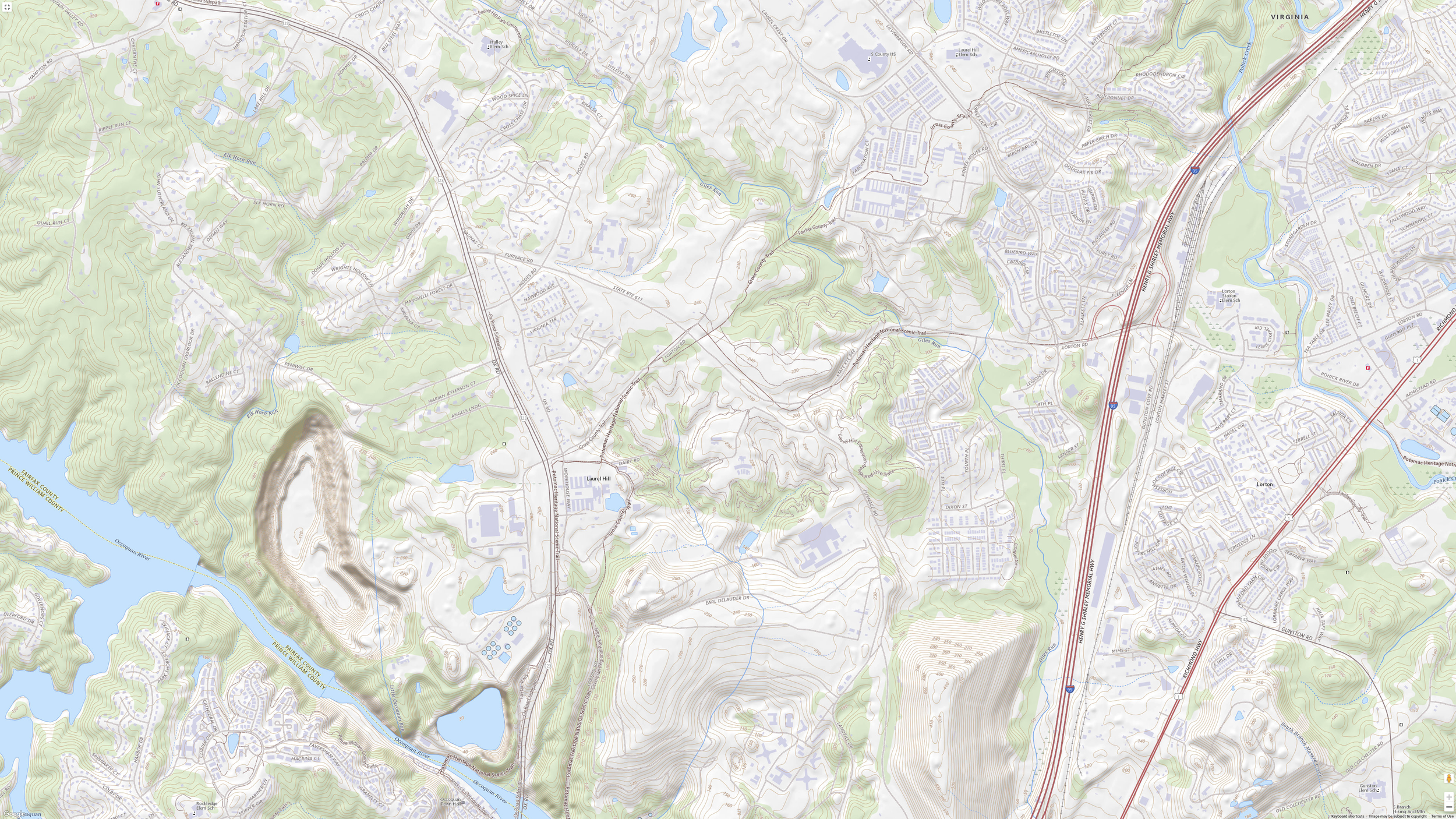
Route Maps
The interactive route maps below highlight several Laurel Hill loop options and key trail connections. Use the maps to explore distance variations, elevation profiles, and ways to link Laurel Hill with nearby trail systems.
Variations of these routes are featured in all of my guides, which include additional regional context, access notes, and nearby riding options.