
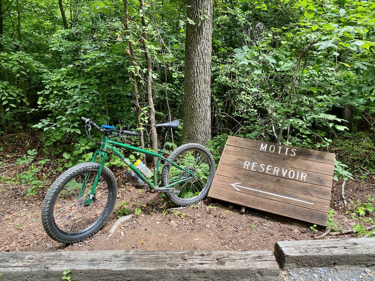
Ride Overview
When I first documented Motts Run Reservoir in 2015 for Mountain Biking Virginia, only a short, three-mile beginner loop along River Road had been completed and had yet to be named. Today, the trail system has grown into more than 12 miles of fun, flowy singletrack that wraps around the reservoir.
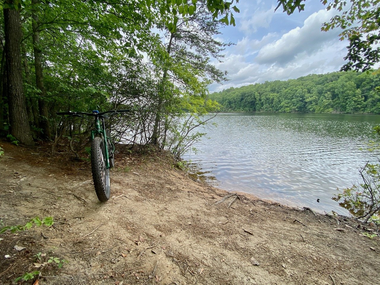
The trails at Motts Run are well suited for advanced beginners and intermediate riders. Expect smooth, rolling terrain, fast and twisty sections, and plenty of opportunities to carry speed. The main loop frequently skirts the water’s edge, offering scenic views of the reservoir throughout the ride.

Ari riding Snuffleupagus, Motts Run’s original beginner trail, shortly after it opened in 2015. The trail system has expanded significantly since then.
Ride Details at a Glance
Location: Fredericksburg, VA
Length: 12+ miles.
Ride Time: 1.5–2.5 hours, depending on pace and trail selection
Ride Type: MTB
Difficulty: Level 3/Intermediate
Ride Notes: Motts Run Reservoir represents the more approachable side of a larger trail network that also includes the Fredericksburg Quarry. Unlike the Quarry, which is considerably more technical and “old school,” Motts Run focuses on flow and sustained fun.
Beyond the primary multi-use loop, there are several additional trails worth exploring, including the Olde Towne Trail and Duff Green Trail along the northwest side of the reservoir. These trails vary in difficulty, with Olde Towne offering more technical challenges. Both deliver fast, twisty riding, rolling terrain, and frequent elevation changes.
Advanced riders looking for a bigger day should combine Motts Run with the Fredericksburg Quarry trails located east of I-95 for a more demanding and technical outing.


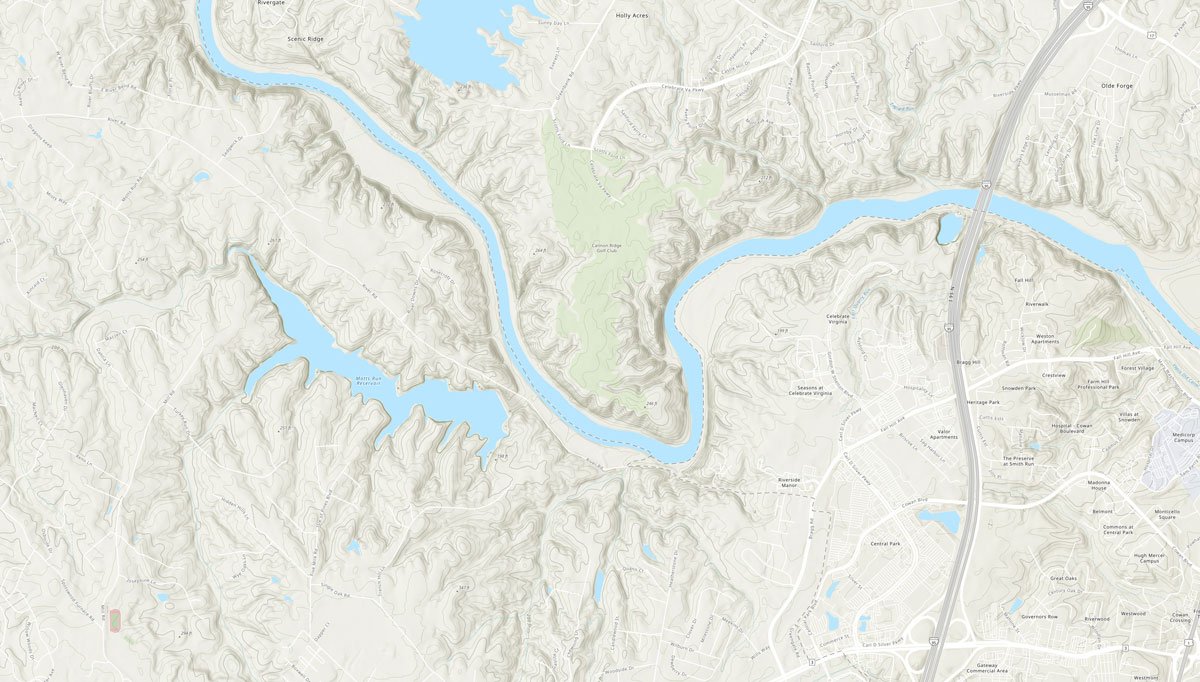
Route Maps
The interactive route maps below show the loops described above and allow riders to explore the route in more detail.