

Ride Overview
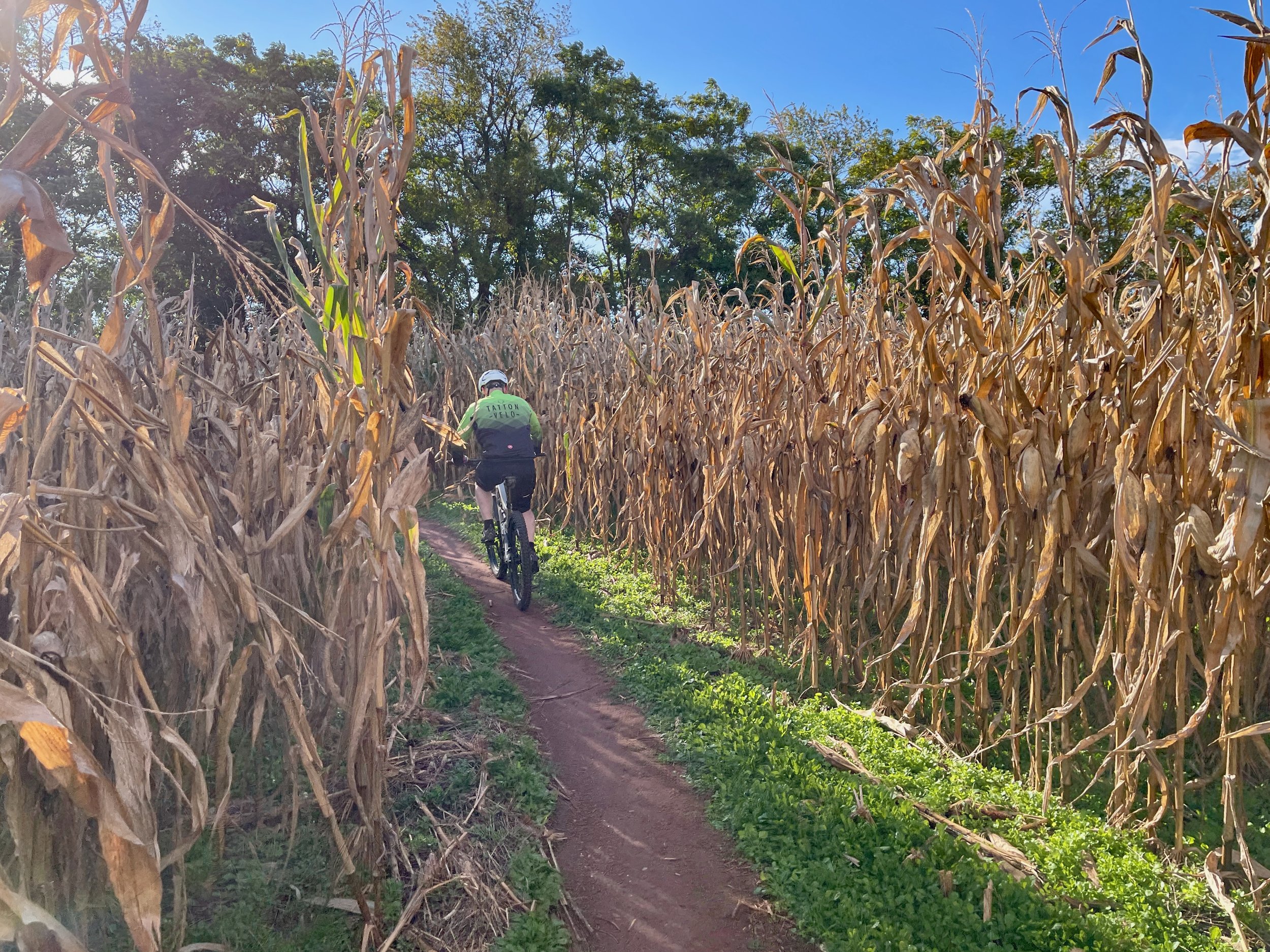
The MoCo South loop, originally presented in Mountain Biking the Washington DC/Baltimore Area, links together multiple trail systems across Montgomery County, Maryland. The route combines sections of Schaffer Farms, the Seneca Ridge Trail, Seneca Bluffs, the Muddy Branch Trail, and a portion of the C&O Canal Towpath into one long, rewarding ride.
This loop represents the culmination of trail advocacy efforts that began in the mid-1990s, when members of MORE began developing trails at Schaffer Farms with the long-term goal of connecting parks along the Seneca Creek stream valley. Today, much of the ride follows classic Montgomery County singletrack, stitched together into a true county-wide adventure.
If you have the legs — and the time — this is one of the most satisfying long rides in the region.

The MoCo South loop includes a scenic stretch along the iconic C&O Canal Towpath.
Ride Details at a Glance
Location: Montgomery County, MD
Length: ~39 Miles
Ride Time: 4–6 hours, depending on pace and conditions
Ride Type: Mountain Bike
Difficulty: Level 3/Intermdediate
Ride Notes: While MoCo South is not especially technical, the distance alone makes this ride more demanding than many others in the region. Riders should be prepared for a long day in the saddle, carry adequate food and water, and expect a mix of terrain ranging from narrow singletrack to towpath cruising.
The MoCo South loop was first documented in Mountain Biking the Washington DC/Baltimore Area and draws inspiration from MORE’s MoCo Epic festival ride. Since its original publication, portions of the route have evolved. Riders no longer need to pass through the Kentlands development; instead, the newer Pepco trail now provides a cleaner connection under the power lines between Riffle Ford Road, Quince Orchard Road, and the Muddy Branch Trail. An updated track reflecting these changes is included below.
Extension & Connectivity:
One of MoCo South’s greatest strengths is its flexibility. Riders can shorten or extend the route by linking additional Montgomery County trail systems, including extra mileage at Schaffer Farms, alternate Seneca Creek trails, or longer sections of the C&O Canal Towpath.
Future Growth:
Ongoing stewardship and trail development efforts in Montgomery County continue to improve connectivity between stream valley parks, reinforcing MoCo South as a living example of regional trail planning done right.
Route Map
The interactive route map below shows the loop described above and allows riders to explore the route in more detail.
This route is documented in Mountain Biking the Washington DC/Baltimore Area, which includes additional regional context, access notes, and nearby riding options.