

Ride Overview
Elizabeth Furnace has been a staple of the Washington, DC mountain biking scene for decades. When it was first included in both Mountain Biking the Washington DC/Baltimore Area and Mountain Biking Virginia, it was among the most difficult rides featured in those books—and it remains one of the most rewarding.
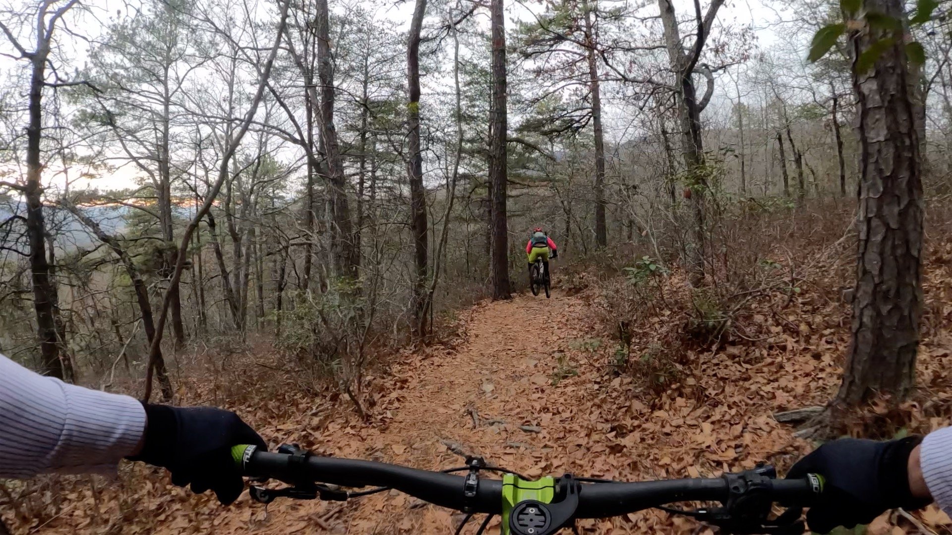
The route highlighted here is demanding: steep climbs, long descents, technical rock sections, and sustained effort. Completing the loop often leaves riders asking “why?”—only to find themselves planning a return trip or exploring more of what the surrounding forest has to offer.
Elizabeth Furnace has become something of a rite of passage for riders in the region. It also serves as a gateway to the broader backcountry riding available throughout the George Washington National Forest, where more than 400 miles of rugged trails and forest roads weave through the mountains.
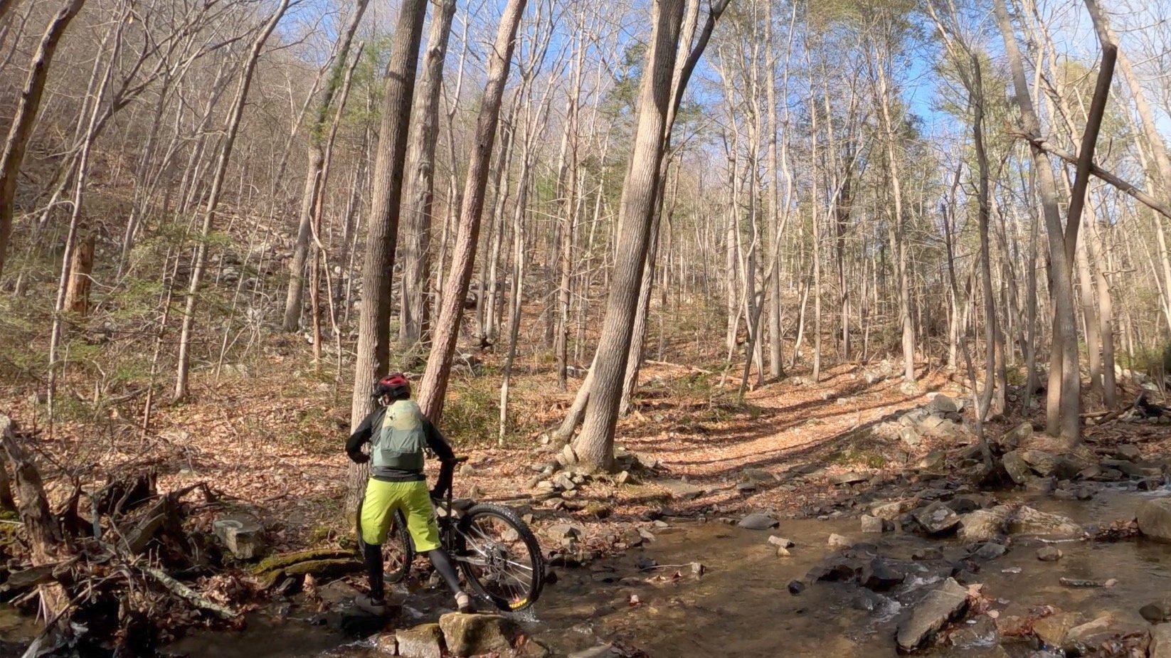
Mudhole Gap features four water crossings. The third and fourth are the most challenging, and I often find myself hiking across them.
Ride Details at a Glance
Location: Front Royal, VA
Length: ~12 miles
Ride Time: 2–3 hours, depending on ability and conditions
Ride Type: Mountain Bike
Difficulty: Level 5/Expert
Ride Notes: For many riders from the Washington, DC area, Elizabeth Furnace is their first real introduction to riding in the George Washington National Forest. Compared to trail systems closer to the city—such as Wakefield, Patapsco, or trails in Montgomery County, MD—the terrain here is steeper, rockier, and far more remote.
The ride featured here represents one of the classic loops in the area and provides a solid taste of what backcountry riding in the Appalachian foothills can offer.
A recent ride report from this route—including photos and updated trail conditions—can be found on the blog.
Extension & Connectivity:
The loop detailed here can be combined with sections of the Massanutten Trail and Mine Mountain Lane into what local riders often call the “Figure 8 of Hate.”
Route Maps
The interactive route maps below show the loops and point-to-point options described above and allow riders to explore the route in more detail.
This route is an honorable mention in Mountain Biking Virginia, which includes additional regional context, access notes, and nearby riding options.