
Ride Overview
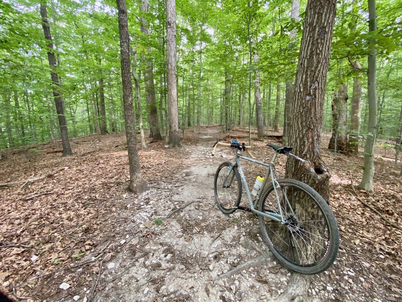
Andrew Leitch Park is a compact but rewarding trail network in Dale City, VA, offering crushed gravel paths and natural-surface singletrack that’s great for mountain bikes and capable gravel bikes. The trails are well-maintained by local volunteers and trail builders, and the network’s multiple loop options make it perfect for a quick ride close to home.
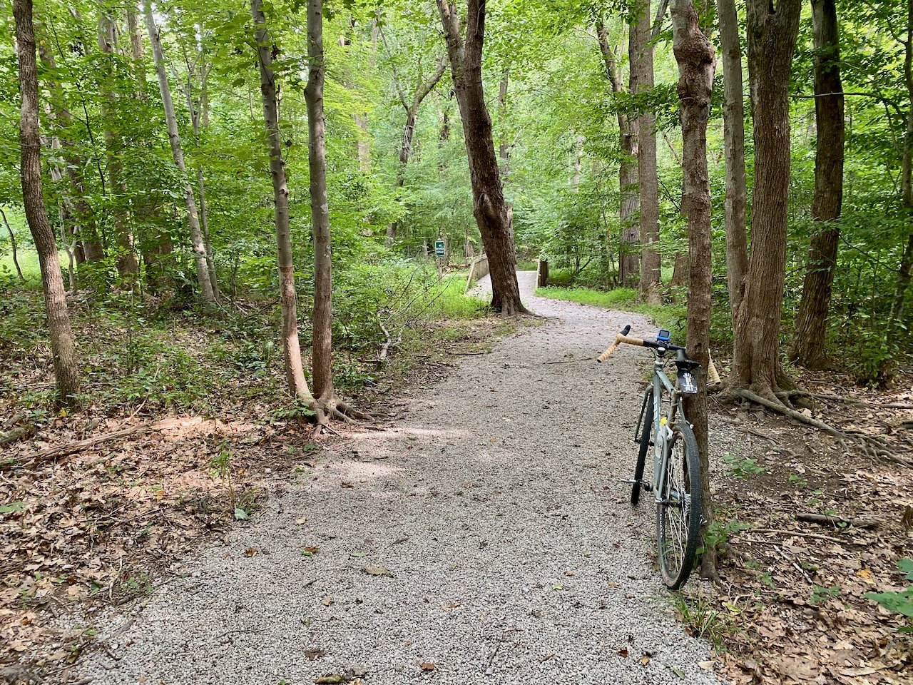
The Neabsco Greenway’s crushed gravel paths around Andrew Leitch Park are ideal for gravel and hybrid bikes.
Ride Details at a Glance
Location: Dale City, VA
Length: ~6.5 miles
Ride Time: 45–90 minutes, depending on pace and loop selection
Ride Type: Mountain Bike
Difficulty: Level 2/Beginner
Ride Notes: Riding at Andrew Leitch Park feels more like a session-style trail system than a long destination route. The network is made up of short, well-marked loops connected by greenway paths, making it easy to customize your ride distance. While the elevation and technical difficulty remain approachable, the variety of trail surfaces keeps things interesting.
The mountain bike trails at Andrew Leitch Park are part of the Neabsco Greenway network, which connects different areas of the park and surrounding neighborhoods. Trails wind through wooded terrain and combine smooth flow with mild elevation changes, making them approachable for newer riders while still fun for experienced locals.
The trails are well maintained by local residents and mountain bike volunteers.
Because of its close proximity to nearby neighborhoods, the trails are very popular with dog walkers and other park users. Ride courteously, slow down when passing, and say hello - be nice, say hi.
This ride can be easily extended by incorporating additional segments of the Neabsco Greenway, allowing riders to customize distance and link different areas of the park. Ongoing volunteer maintenance and local stewardship continue to improve trail conditions and connectivity within the broader greenway network.
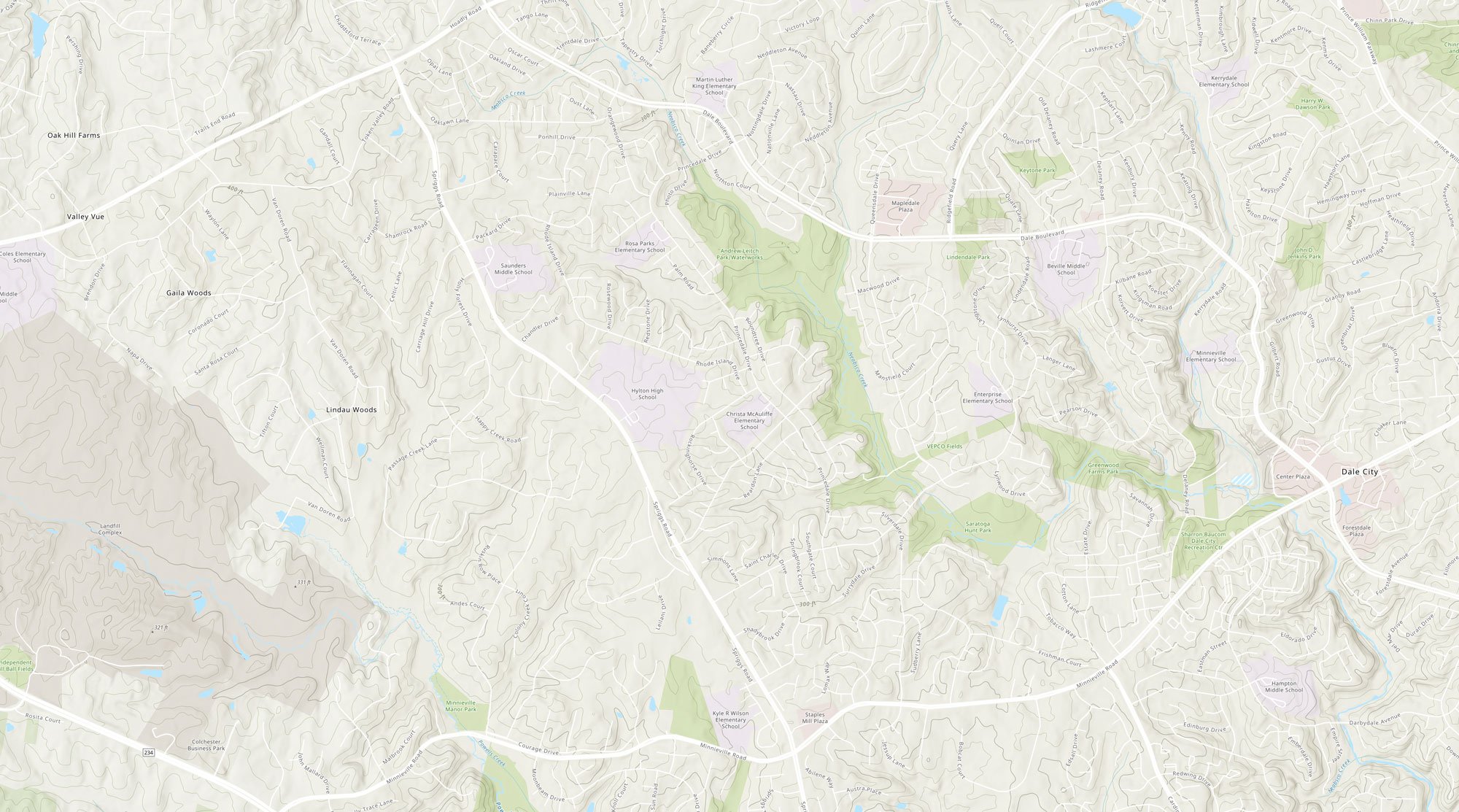
Route Map
The interactive route map below shows the loop described above and allows riders to explore the route in more detail.